Essay
Sixteen Years of Classroom Maps
十六年的课堂地图
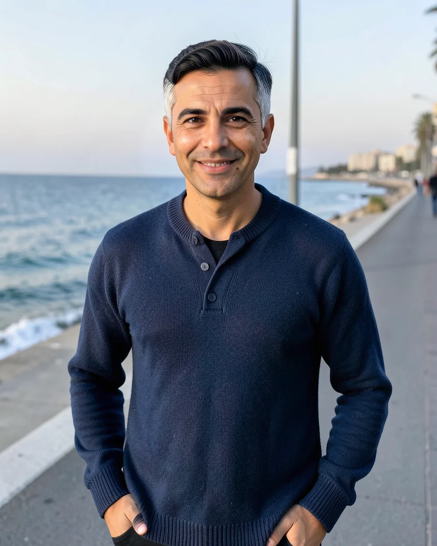
At forty-one, I have spent sixteen years as an Algerian middle-school history teacher in Oran, drawing histories with a blue marker and talking slightly past the bell. The maps began as a way to fix dates in memory. They became something else: coastlines students could follow, arguments they could interrupt, and quiet places to look when a story grew too large.
The First Blue Line
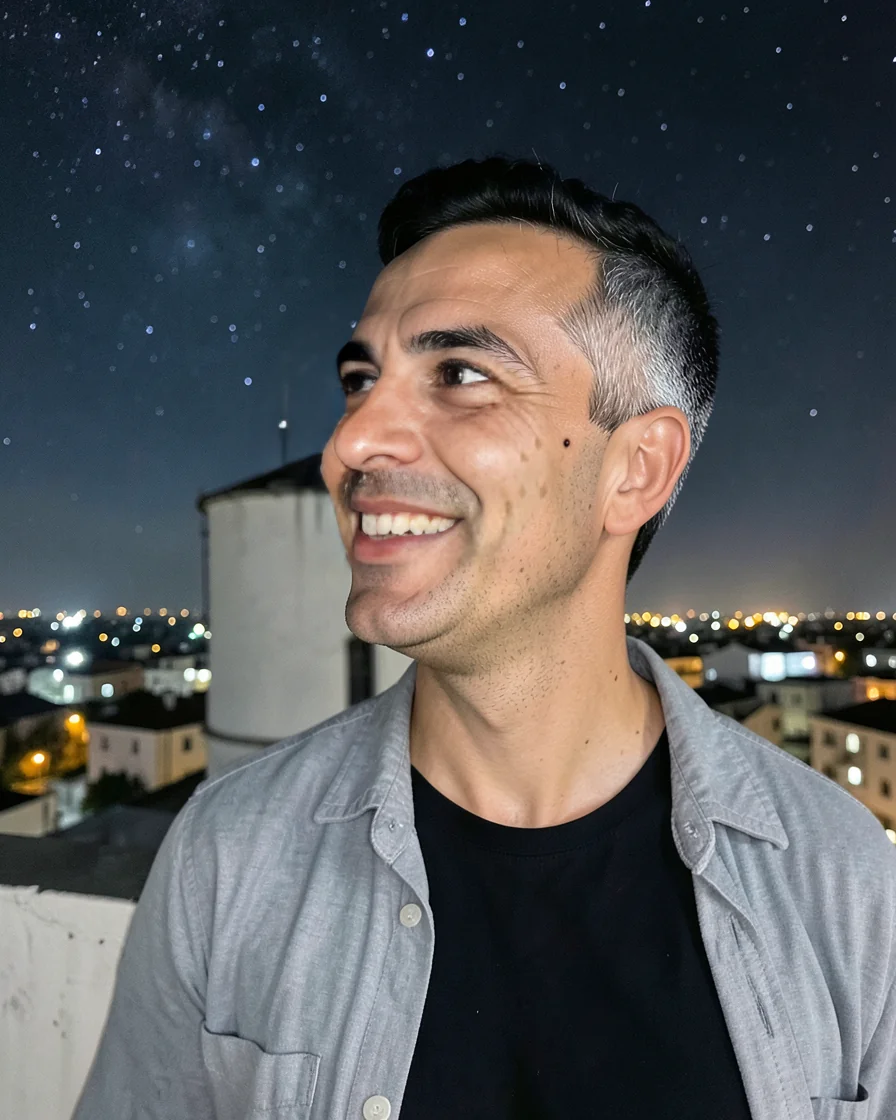
This afternoon, on my rooftop in Oran, I corrected a map of Mediterranean exchange for tomorrow's class. A harbor in the textbook had been placed too far east, so I rubbed the graphite away until the paper thinned. The wind kept lifting one corner. For a few minutes I simply held it down and watched the afternoon light move across the table.
Teaching history has never made me a better keeper of dates. It has made me curious about the space between them: why a road curved inland, why a city claimed a coast, why one generation remembered a journey differently from the next. I draw those things before I explain them. If the line is clean enough, students begin to trust the story, and then they ask the dangerous question.
A map is an argument drawn slowly enough to be mistaken for the world.
That moment is usually why I keep talking. A student points to the blank part of the board, and the lesson stops being mine. Last term, a boy asked whether a map made in one century could be called wrong. I gave him an answer about perspective and evidence, but the honest answer was simpler: it could only be wrong for the people using it.
An Unfinished Coastline
Back in the classroom, I leave a narrow strip of blank paper beside every map. It is not decoration. I use it for roads that no longer exist, names spoken in several languages, and questions that have no date attached. Students sometimes laugh at the white space. Then someone walks to it and writes a single word, as if the map had been waiting for permission.
Oran sits beside the Mediterranean, but I do not use the sea as scenery. I ask what the water carried and what it withheld: grain, letters, habits, stories, disease. The question makes the coastline feel less like an edge and more like a hinge. My students live beside that water too, even when the classroom windows face a courtyard. The map gives their own streets a place in the larger story.
The best questions begin where my certainty ends.
After the last bell, I often stay to redraw a line, erase a date, or answer one more question. My colleagues know the extra five minutes; students know them better. They pass a notebook through the rows while I pack the markers. The chatter is not disorder. It is the part of teaching I cannot put on a lesson plan: proof that the story continued after I stopped speaking.
中文译文
我四十一岁,在阿尔及利亚奥兰做了十六年中学历史老师。我用蓝色白板笔画历史,铃响后也总忍不住多讲几分钟。地图起初只是帮助学生记住日期的工具,后来变成了别的东西:学生可以沿着走的海岸线、能够打断故事的争论,以及故事变得过于庞大时可以安静凝视的空白。
第一条蓝线
今天下午,我坐在奥兰住所的天台上,为明天课堂修改一幅地中海交流史地图。教科书里有一处港口偏东,我用橡皮擦去石墨,直到纸面变薄。风不停掀起图纸的一角。有几分钟,我只是按住它,看午后的光从桌面缓缓移过。
教历史从未让我更擅长记住日期,却让我对日期之间的空隙产生兴趣:一条路为何向内陆弯曲,一座城市为何声称拥有海岸,某一代人为何与下一代人记得同一段旅程 differently。我会先把这些画出来,再作解释。只要线条足够清楚,学生就会开始相信故事,然后问出那个真正危险的问题。
地图是一场缓慢到足以被误认为世界的争论。
这也通常是我继续说下去的原因。有学生指着黑板上的空白处,课程便不再只属于我。上学期,一个男孩问,百年前画成的地图能否被称为错误。我向他解释视角与证据,但更诚实的答案其实很简单:它只可能对当时使用它的人而言是错的。
未画完的海岸线
回到课堂后,我总会在每幅地图旁留下一条狭窄的空白。这不是装饰。我会在那里标出早已不存在的道路、流传于不同语言中的名字,以及没有日期可依的问题。学生有时会笑那片空白。后来却总有人走过去写下一个词,仿佛那张地图一直在等待有人允许它开口。
奥兰濒临地中海,但我从不把海只当作背景。我会问它运送过什么,又阻隔过什么:谷物、书信、习惯、故事与疾病。这样的问题使海岸不再像一道边界,而更像一扇转轴。我的学生同样生活在海水之旁,即使教室的窗户只朝向院落。那张地图终于让他们熟悉的街道在更大的历史里有了位置。
最好的问题,总从我的确定结束之处开始。
最后一节铃响后,我常会留下来重画一条线、擦掉一个日期,或再回答一个问题。同事知道我会多讲五分钟,学生则更清楚。他们一边帮我收白板笔,一边从座位间传 notebooks。那些交谈并不是秩序混乱,而是教学计划无法写下的部分:证明在我停止说话以后,故事仍在继续。